 Photos: Google Earth Reproduction
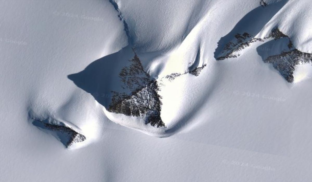
Google Earth images reveal an “ice pyramid” in Antarctica that has caught the attention of conspiracy theorists.
+ Images of mysterious lights in the U.S. sky go viral on TikTok, alarming residents
Google Earth images have drawn the attention of conspiracy theorists. What appears to be an “ice pyramid” is actually the Ellsworth Mountains in Antarctica.
This mountain range stretches over 400 km and was discovered by the British Antarctic Expedition from 1910 to 1913. The location can be viewed at the coordinates 79°58’39.25″S 81°57’32.21″O on Google Earth.
“It’s not a complicated shape, so it’s not a special coincidence either. By definition, it’s a nunatak, which is simply a rocky peak that protrudes above a glacier or ice sheet,” explained Dr. Mitch Darcy, a geologist at the German Research Centre for Geosciences in Potsdam, to IFL Science.
Antarctica has already been the subject of other conspiracy theories, such as the one proposed by conspiracy theorist Eric Hecker, who claimed in 2010 that the Amundsen-Scott South Pole Station was an “air traffic control center” for extraterrestrials.
Photos: Google Earth. This content was created with the help of AI and reviewed by the editorial team.

